

BEYOND THE HORIZON: THE RACE FOR 30X30
Turning decades of marine research into a tool for global change.
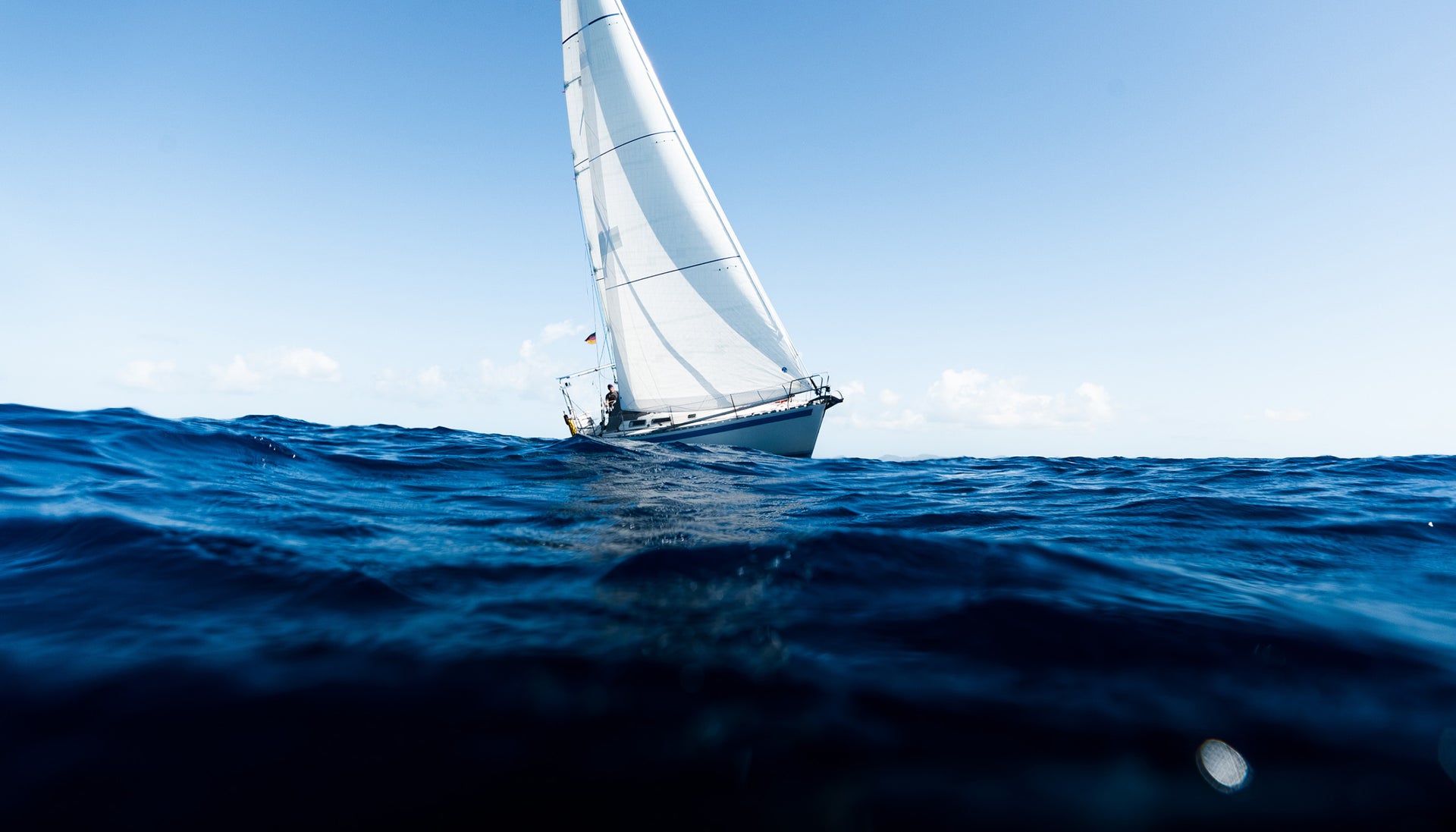
In 2022, almost every country on Earth signed up to protect the ocean. The goal, known in conservation shorthand as 30x30, is to have 30% of the world’s ocean meaningfully protected by 2030. This means restricting fishing, drilling and leisure activities, and leaving large parts of the ocean undisturbed, giving habitats and species the chance to recover.
To do this, countries have established Marine Protected Areas (MPAs), which have historically sat along coastlines. This is due to coastal waters falling neatly within national jurisdictions and being easier to monitor than the remote areas of the high seas. Additionally, there is often a nexus of high biodiversity and human impact along the shore. However, almost two-thirds of the ocean sits in international waters; no government owns it, no coastguard patrols it, and until recently, no one had the legal power to protect it either.
That changed this year – 2026 saw the High Seas Treaty come into force. For the first time, the world has a legal route to designate MPAs in the open ocean, with UN member states agreeing to manage them collectively. So, the question is no longer whether high-seas protection is allowed. The question is where to protect.

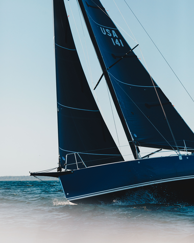
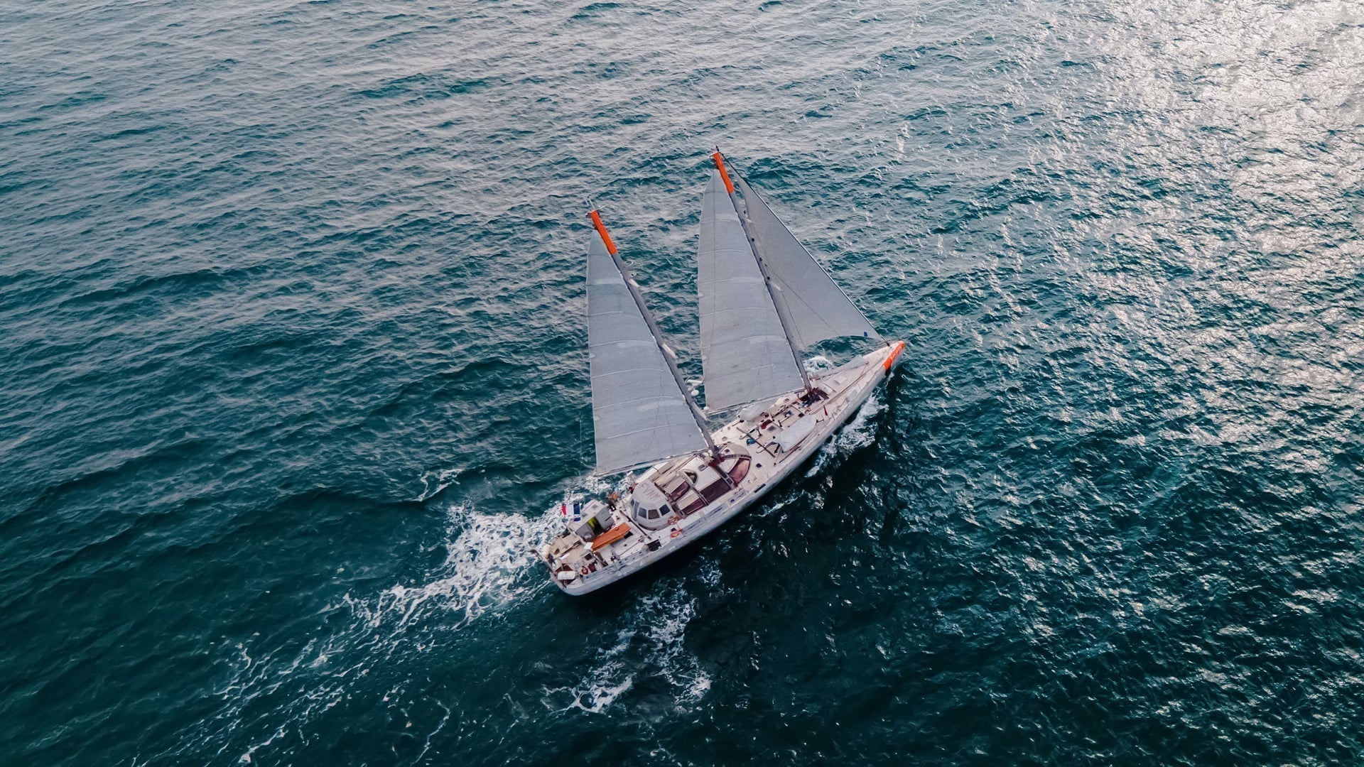
📸: Maéva Bardy – Tara Ocean Foundation
The Science Gap
This challenge, working out where the most important areas of the high seas are, is twofold. Firstly, identifying the parts of the ocean where the food chain is most active, where life is densest: where the system is most worth protecting. A process that requires different scientific criteria than those used to assess coastlines. Secondly, out in the high seas, almost nothing stays still, which makes the practice of drawing fixed MPA borders on a chart largely redundant. A blue whale can cross an ocean basin in a year. A leatherback turtle swims six thousand miles between feeding and nesting grounds. Tuna and sharks, the flagship species of the open ocean, don’t stay put either. The plankton that feeds them ride currents that shift with the seasons.
You can map a reef. You cannot, for the most part, map the deep-sea floor; whole stretches of it are less surveyed than the surface of Mars. The animals that matter most in the open ocean have migrated before you can chart them. So how do you decide what’s worth protecting? You start with the things that can tell you what’s happening underneath. For more than 20 years, the Tara Ocean Foundation has been building the dataset that may be the answer.

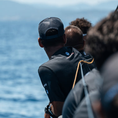
📸: Maéva Bardy – Tara Ocean Foundation
The Case for Plankton
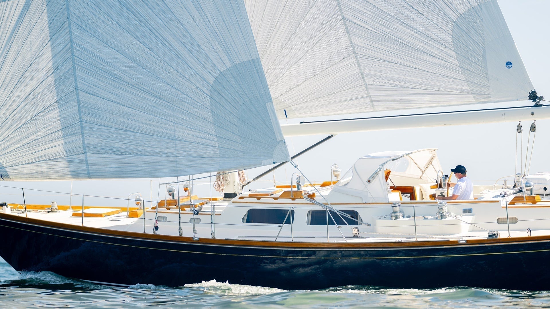
Tara is a 36-metre research schooner, a two-masted sailing boat, that has been crisscrossing the world’s oceans since 2003, sampling seawater as it goes. What makes it unique is what the scientists onboard study: not the animals you can photograph, but the things you can’t. Plankton.
Plankton is the catch-all term for the microscopic life that drifts in seawater — bacteria, viruses, single-celled algae, animals barely a millimetre long. Individually, unspectacular. Collectively, they make up more than 70% of marine life, produce a substantial share of the planet’s oxygen, and drive the ocean’s carbon cycle by pulling CO₂ from the atmosphere into the deep sea. They are fundamental to life as we know it.
They are also the most accurate biological readout the ocean has. The mix of plankton in a given stretch of seawater tells you what kind of ecosystem sits underneath: how productive, how stressed, what it can support. You don’t need to see the whales to know whether the water can feed them.
With this dataset, the Tara Ocean Foundation is joining a growing group of scientists calling for dynamic protected areas — protection that shifts with the ocean itself, following currents, blooms and migrations as they move. Protection that behaves more like the thing it’s protecting: alive, changing, and in motion.
That insight is what Tara’s scientists are turning into a tool policymakers can use — maps of the high seas drawn not from what’s visible at the surface, or the ocean floor, but from what plankton reveals about the system as a whole. Maps that move with the ocean itself.

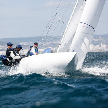
📸: Maéva Bardy – Tara Ocean Foundation
The First Plankton Map
None of this is theoretical. The Humboldt Current — the cold, nutrient-rich water that runs up the Pacific coast of South America — is one of the most productive marine systems on Earth, feeding anchovies, sardines, seabirds and much of the global fishery. During its Mission Microbiomes expedition Tara sampled the Humboldt’s full length, from Antarctica to Iquique in northern Chile, building the most detailed plankton dataset the region has. That data is now helping the Chilean government better monitor its marine protected areas.
By January 2027, when the first Conference of the Parties under the High Seas Treaty meets the Tara Ocean Foundation aims to present the first map of key planktonic areas to protect the high seas.

📸: Marin LE ROUX – Tara Ocean Foundation
North Sails x Tara Foundation
At North Sails Apparel, our support for the Tara Ocean Foundation demonstrates our commitment to the ocean every day of the year. It is an extension of why we exist. Every garment we sell, every story we tell is underpinned by the ocean.
30x30 is the mechanism to protect it, and the high seas are where it will be won or lost. The science that decides which parts get protected, the science that might give the ocean a kind of protection that actually moves with it, is being done by Tara.
Learn more about Tara's Mission and support their work.